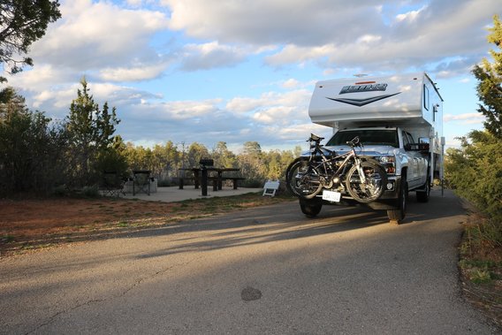
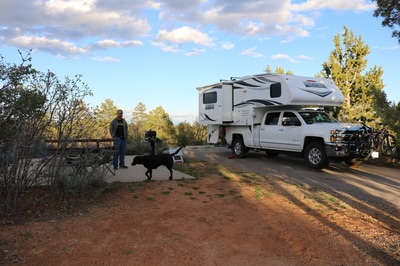
Devil's Canyon Campground, Monticello, UT
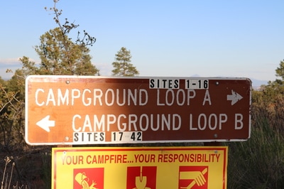
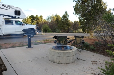
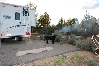
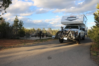
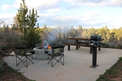
Devils Canyon Campground is in the Manti-La Sal National Forest in SE Utah. It sits at 7400 ft. in elevation. 42 sites in 2 loops. Loop A seems to be an older loop, more forested and varying topography. Loop B is more flat and open. Vault toilets, fire rings, & picnic tables are provided. Drinking water is available via a portable tank brought in by truck.
Getting Here:
GPS Info. (Latitude, Longitude): 37.73889, -109.40611, 37°44'20"N, 109°24'22"W
13 miles south of Monticello, Utah, on US Highway 191, approximately 1/4-mile off the highway.
GPS Info. (Latitude, Longitude): 37.73889, -109.40611, 37°44'20"N, 109°24'22"W
13 miles south of Monticello, Utah, on US Highway 191, approximately 1/4-mile off the highway.
Nearby Sights......
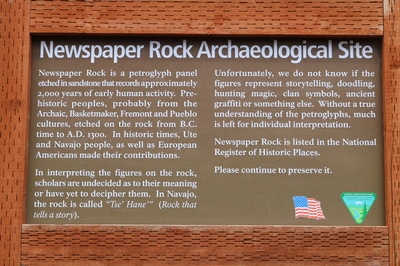
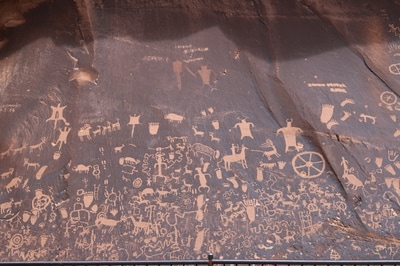
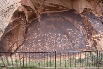
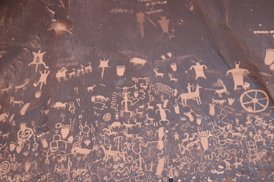
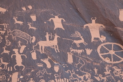
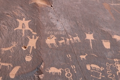
Newspaper Rock Historic Monument- It isn't exactly nearby since it sits about 45 miles away, but it is a pretty cool side trip so I wanted to add it. Over 650 petroglyphs covering a group of rock faces. The petroglyphs were created by ancestral Puebloan people living in the area between 650 and 2,000 years ago. They were farmers and hunters and many of the pictures depict this lifestyle.
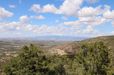
From Newspaper Rock we took a Forest Service Rd to Monticello that was paved the whole way and very scenic. Looking at the map it looks like FR 0049 / Hart's Draw Rd to N Creek Rd. There were also places to camp along this route as well.
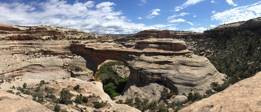
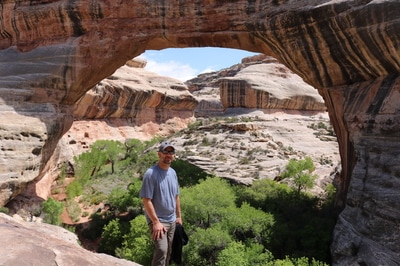
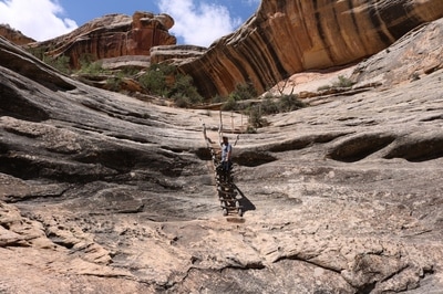
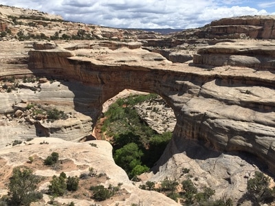
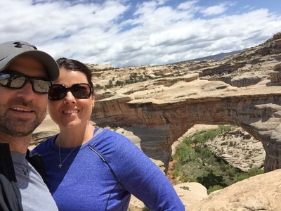
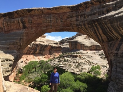
Natural Bridges National Monument -
